Glossary
생활속의 위성항법, 보다 안전하게 제공하겠습니다!


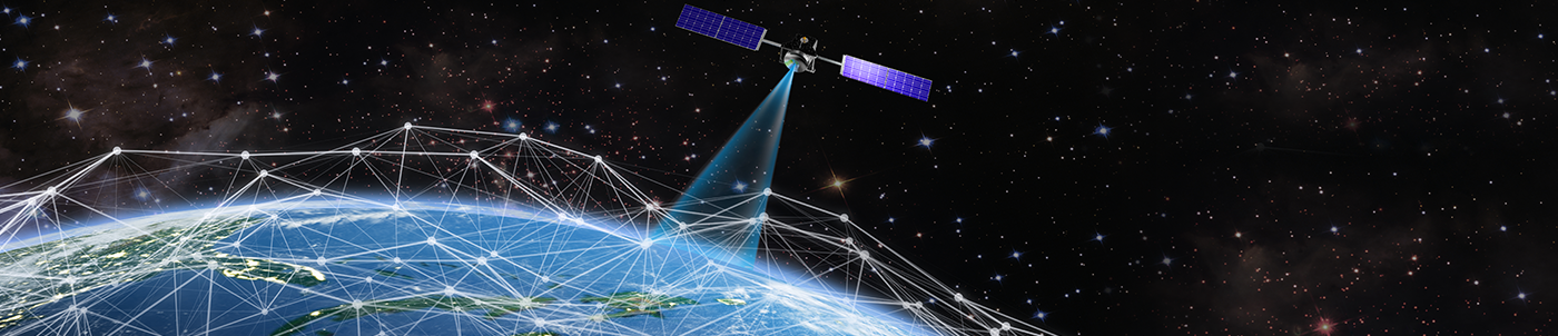
History of Positioning System
Humans are animals with the ability to perceive space.
Of course, all living things have some kind of abilities to perceive space, but lower life forms, for example, can only perceive one- or two-dimensional spaces.
As a simple experiment, place a worm on a plate with high edges. You will be able to see that the worm only moves along the edges of the plate all day. This is a direct example of how worms can only perceive one- or two-dimensional space. In comparison, higher life forms, including primates, have the ability to perceive three-dimensional spaces. Although it is unclear whether there are any research on the correlation between an animal's ability to perceive space and intelligence; one thing that we should not be confused about is how we are going to interpret the outstanding homing instincts of some fish, birds or inspects. Among fish with homing instincts, some fish grow while traveling thousands of miles in the ocean after they hatch, and then return to the precise location of their birth after they fully grow. They are able to do this not because they have great spatial perception. Rather, it would be more correct to say that it is an instinctive behavior relying on well-developed sensory organs. On the other hand, humans are capable of perceiving four-dimensional spaces thanks to their excellent intelligence, unlike other animals that rely on well-developed sensory organs.
In other words, humans are the only living being with the ability to perceive four-dimensional spaces including three-dimensional space with X, Y, and Z axes and time axis. It is through this ability of spatial perception that allows humans to find the origin of a position. To humans, positioning is a survival activity. Since the ancient hunter-gatherer period, humans developed a variety of positioning systems before developing today’s advanced global positioning satellite system. In a way, it could have been inevitable for humans to compete with other animals and survive because humans have inferior sensory organs than preys. In other words, if it is difficult to identify the accurate location of prey in a dense jungle, then it will be hard to succeed in hunting. If the hunter cannot identify his/her current location (position) in the jungle, it becomes impossible to return home. For this reason, humans needed more accurate positioning ability the further they venture out of their habitat. The more advanced the positioning system became, the greater the area of activity. A groundbreaking development in the advancement of human positioning system happened as humans left the land and went out to the sea, and this required accurate positioning abilities, a fundamental requirement for accurate navigation in the ocean. However, it is not easy to find reference objects that can be used to calculate the current coordinate of a traveler in the ocean. When humans started coastal sailing, travelers could use coastal features as indicators. As humans traveled further into the ocean, however, travelers had to use the location of the stars in the sky for positioning. This was when sextant was developed, a very useful positioning tool for navigation used even today. Although sextant is a very sophisticated positioning device that contains the entire geometric knowledge of humans; it not only led to a big error because it relied on the observer's experience and capability, it was also limited since positioning may sometimes be impossible depending on weather conditions.
In the end, humans longed for an accurate positioning system that can be used in all weather conditions and started to use radio waves as means of positioning. This is the origin of radio positioning systems that have been used until recent times, such as Deca, Omega, and Loran. However, most radio positioning systems in the early days used electromagnetic waves with long or medium wave bands. This made them vulnerable to errors caused by electromagnetic interference such as coastal errors and nighttime errors. Nonetheless, thanks to the advancement of cutting-edge electronics technology and space engineering, humans now have global positioning systems (GPS), which can be described as an almost-perfect positioning system. Today, we live in an era where we can accurately position our current location with barely any error through a very simple device that fits in our hand in any weather conditions wherever we are on Earth. We now have the perfect positioning system that we always dreamed of. Through this, the positioning system effectively placed the entire planet of Earth as an area of activity for everyone.
Currently, GPS is used in all fields, including aircraft, ships, and vehicles. All inhabitants of planet Earth can locate their current location with an error of just a few meters, and share that information with others. Still, we need to devote more interest and attention in the field of positioning systems to enjoy such convenience more efficiently.
